What is CPRE’s vision for active travel in West Yorkshire?
There is a long answer to this question, which we will be exploring in the coming months. But the short answer is that we see the countryside both as a network for active travel, and as a destination for it.
Looking first at the network, we’d like to see the countryside used much more as a way to get around West Yorkshire on foot and by bike. The majority of funding and investment at present is targeted on popular, arterial commuting routes, because this is seen as a good way to impact on a concentrated number of journeys with – hopefully – reduced peak-time congestion and improved air quality. Fair enough, but it’s worth bearing in mind that these may also be the routes that are already best served by public transport. It seems likely that walking and cycling could really make a greater overall contribution to reducing car use if it could work for the host of smaller, more diffuse and non-arterial trips – the kind of trips you make when visiting friends, or a particular shop, in a neighbourhood that is a couple of miles away but not on the same transport artery.
As we discussed when looking at the Esholt proposals, planning currently takes a negative approach to walkability. Road traffic impact can only bring about refusal of a planning application if the effect would be “severe”. Reasonable walking distances from a new development are measured: if the development is within the maximum recommended distances (usually a 10 minute walk) of facilities such as schools, shops and a doctor, then the development is considered accessible. What this does not consider is, firstly, what is the likelihood of that journey being made on foot, compared to by car and, secondly, what are the outcomes if most journeys are made by car. As a result, schemes are approved and deemed to be ‘sustainably located’ when in fact they are generating large volumes of additional car traffic.
An alternative, positive planning approach to walkability would ask, “what is the likelihood that this scheme will increase the walkability of the area, and what would be the benefits of that?” Considering the proven health benefits of walking, and the pressing need to reduce car mileage in the interests of the climate, these are crucial questions which should translate into planning considerations.
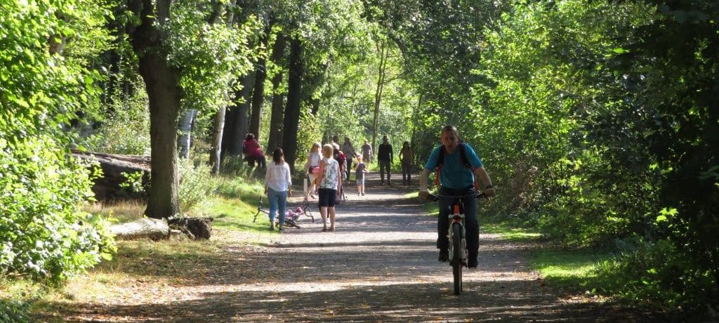
This is where the countryside comes in as an active travel network. Whether it be a quiet lane running parallel to a main road, a canal towpath, a cycle track connecting two railway stations, people are always looking out for more pleasant, safer routes for walking and cycling, away from the main road – especially where children are concerned. Where there is openness between two settlements, or along a green corridor, there is potential for that openness to be a connection, not just a separation.
Turning to the role of the countryside as a destination for active travel, we need to remember that – perhaps surprisingly, the largest share of all journeys are recreational, not commuting. Of course that includes going to the gym or to see your auntie, but it also includes many trips to the countryside. These days it seems there are not many rural cycling outings that don’t start by strapping the bikes to the car and driving them to a big car park. How many such car journeys could be eliminated if people were not deterred from cycling those first few miles from home – the miles that are full of bottlenecks and road rage?
In West Yorkshire we have embarked on map analysis to show how the vast majority of our urban populations are – theoretically – accessible by bicycle within a few kilometres. What’s more, most of our countryside is just as accessible. The cultural assumption that villages are, by definition, more isolated, holds no water. The isolation really comes because reliance on cars has led to bigger roads that bypass, that draw people away from the village and towards the out-of-town retail zone. So lets’s take the many attractions that West Yorkshire’s countryside has to offer, and see how we might get to them without resorting to our cars. Let’s add up the cycle paths, towpaths, preserved railways, country parks, and let’s be surprised by just how well-connected our countryside actually is, and figure out how to make a success of that – to make it work for people who don’t, can’t, or would prefer not to drive.


